Russell Farm House
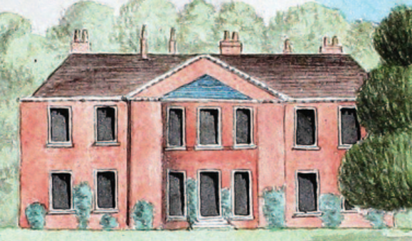
The Original Building The mansion was built to a design by Thomas Wright in 1753 by Stiff Leadbetter, one of the leading builders of English country houses of the mid eighteenth century. A paper by Giles Worsley on Stiff Leadbetter also provides background re the design of the house, “However, at Russell Farm and at […]
The Lodges
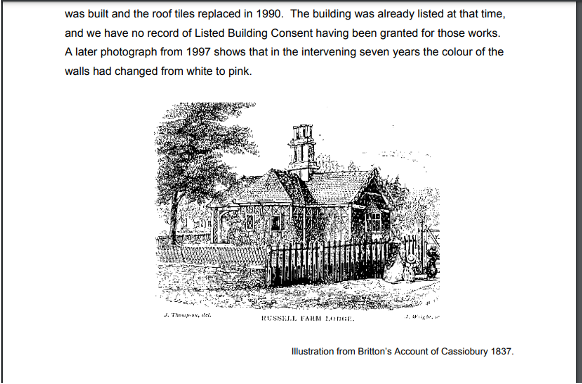
The Lodges Russell’s Estate was one of the three large estates in the area centred on significant country houses. The Estate has three Lodges: South Lodge, West Lodge and East Lodge, each located at one of the principal gateways to the estate grounds. South Lodge, Hempstead Rd 1835 The oldest of the surviving cottages connected […]
The Estate Boundaries
Historical Development of Watford “New development was linked with the construction of the new distributor roads through the area, with the ‘Watford By-pass’ (A41) completed by 1929 and the ‘North Orbital’ (A405) completed in 1932.” “Historical Development Before the arrival of the railway, development in Watford had been largely limited to the town’s historic core […]
The Gardens
History of the Gardens Together with an overview of the design of parks and gardens there are a few mentions of Russells in the book by Hertfordshire Gardens Trust and Tom Williamson (Williamson, 2000). It says “Note the contrast between Cassiobury – with avenues and formal rides through woodland and The Grove or Russells, with […]
Estate Trees
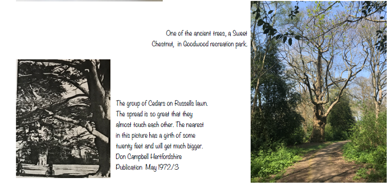
The area still has some wooded areas, including some older trees. The old Russell Farm Wood, to the North East of the house, was the site of the 1835 railway tunnel disaster. According to the WBC Planning Application document 23_00949_FULM ECOLOGICAL_ASSESSMENT-1147564.pdf the Local Wildlife sites include; […]
Russell Farm Chalk Pit
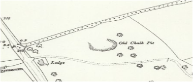
The Hertfordshire XXXIX.9 map 1896/1898, shows an Old Gravel Pit to the North West of Russell Farm House. In the same map for 1913/1914 the pit is now called an Old Chalk Pit. It is likely that gravels were initially removed, followed by extraction of the underlying chalk.
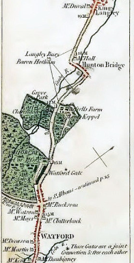
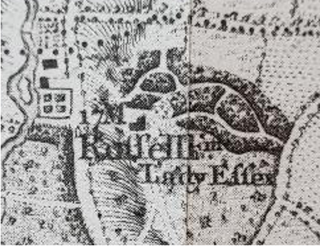
Maps
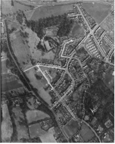
The Historic England site has over 400,000 digitised photos from their aerial photo collections of over 6 million photographs preserved in the Historic England Archive. Some of them include part of the Russell Farm Estate area. 1947 An aerial photograph of the Russels Estate 10April 1947 from Historic England Archive RAF Photography […]
Landscape
“The whole parish lies on the chalk formation, more or less deeply covered with gravel, sand, and brick earth. It is, generally, well wooded, with a slight upward slope towards the Chilterns in the north of the county, and the surface of the country is diversified, more especially on the western side, by abrupt descents […]