“The whole parish lies on the chalk formation, more or less deeply covered with gravel, sand, and brick earth. It is, generally, well wooded, with a slight upward slope towards the Chilterns in the north of the county, and the surface of the country is diversified, more especially on the western side, by abrupt descents into narrow valleys.”
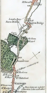
The Lower Gade Area is described in the HCC Landscape Character Assessments document. The Lower Gade area of Watford follows the Gade valley and its side slopes from Hunton Bridge into Watford.
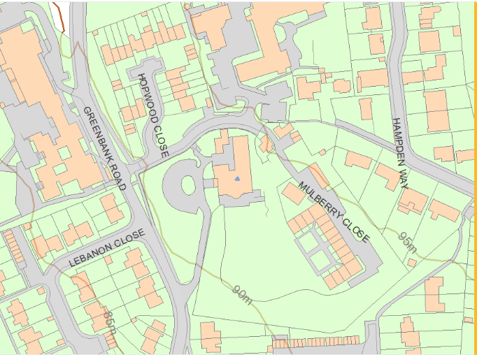
This website provides a way of creating a clear contour map of the area. The slope shows a rise from 59 m in the valley bottom to 104 m at the top, around Goodwood Park.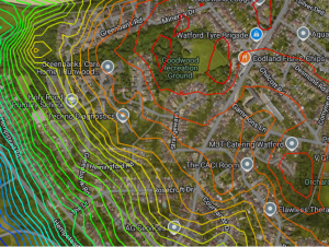
For those who enjoy more detail it might be worth looking at Understanding flood. (www.watford.gov.uk) and Hertfordshire Geology and Landscape, by John Catt (editor) or the 2023 Planning application for Russell Lane Field. [1]
Sadly, the combination of Chalk and Gravel was the cause of the Railway Tunnel Disaster in 1835, when a team of men bricking up a section of the tunnel that runs under Goodwood recreation park just by the Minerva Drive entrance, were buried alive. “The land through Watford is predominantly chalk, but is rent by gravel-filled fissures as much as one hundred feet deep. This made tunnelling very dangerous as the ‘for at times, when the miners thought they were excavating through solid chalk, they would in a moment break into loose gravel, which would run into the tunnel with the rapidity of water, unless the most prompt precautions were taken.”
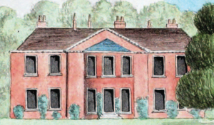
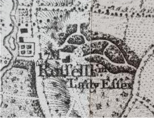
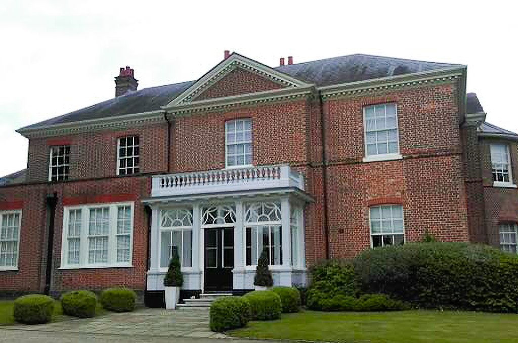
When she chose Russell House as her home on the side of a valley the dowager Countess of Essex located her house carefully, as a document dated 1795 includes the carefully worded comment;
“The taſte of the late Dowager Counteſs of Eſſex was always applauded, for her contrivance of overlooking (from Ruſſel farm *) the grounds of neighbouring ſeats, very manifeſtly not belonging to herſelf.”
The shape of the environment would probably have impacted the way the road layouts developed.
[1] planning application document 23_00949_FULM-HYDROGEOLOGICAL_RISK_ASSESSMENT-1147557.pdf for the field north of the Russell Farm Estate