The Historic England site has over 400,000 digitised photos from their aerial photo collections of over 6 million photographs preserved in the Historic England Archive. Some of them include part of the Russell Farm Estate area.
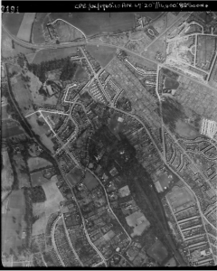
1947
An aerial photograph of the Russels Estate 10April 1947 from Historic England Archive RAF Photography
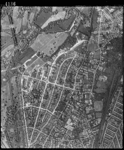
1952
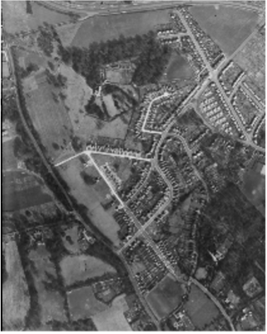
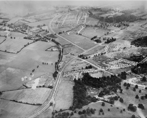
1936
Looking towards the Housing Development at Garston and Kingswood with the Estate and Russell Lane bottom centre.
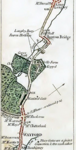
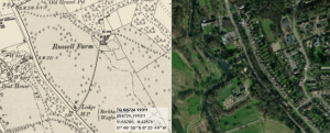
If you go to the National Library of Scotland site you can view a number of old detailed maps for the area.
You can also compare the old maps with the current layout. For example this view shows the 6″ OS map from 1888-1915 against the current aerial view.
Maps are also available at the Hertfordshire Archives and Local Studies.