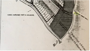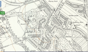
As the Estate was developed after 1934, broadly speaking from Ridge Lane westwards, so the roads were laid out.
Local estate agents Stimpson, Lock and Vince gave particulars of the Estate and how it would be developed aimed at“builders, investors and speculators” who might be interested in buying land.
On roads they wrote
“They will be of concrete with tarmac surface, curbed and channelled and all sevices will be available, the main Sewer being laid in the road ……..and since concrete roads will be put in, it will be necessary to sell the land in fair sized parcels in order that the positions of the sewer connections may be arranged before the roads are begun”.
The practical reason aside, this way of proceeding had the advantage for the owners of the Estate of providing them with funding for infrastructure as it progressed, thus avoiding heavy initial expenditure. By 1939 most roads on the Estate had been constructed with the exceptions being the ‘service road’ (parallel to the Hempstead Road – A411), Greenbank Road, Hemingford Road and Lebanon Close.
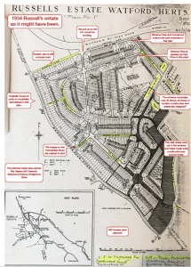
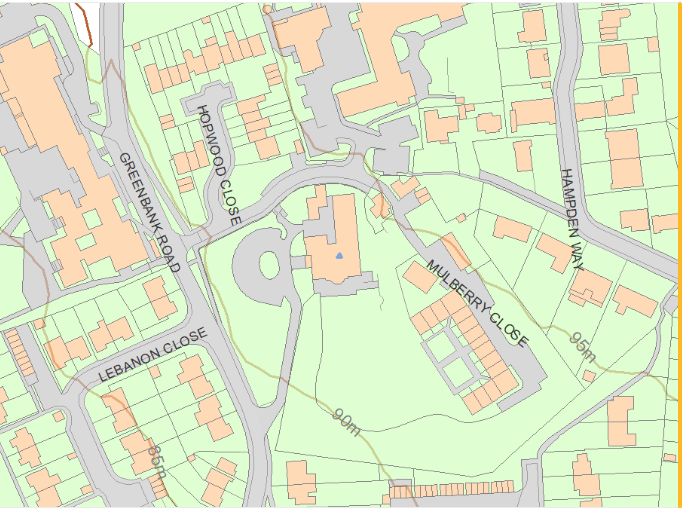
Note: Many vehicle Sat Navs have been confused by the short Hempstead Road parallel to the Hempstead Road proper (A411) at the bottom of the Estate. This was a Service Road built in the mid 1950s to access the houses along that strip of land. The Service Road used to run between Russell Lane and Courtlands Drive but the Russell Lane end was closed off as it was being used as a ‘rat run’.
Special mention should be made of Courtlands Drive which has seen several changes.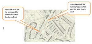
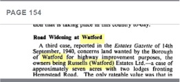
In January 1941 Russells (Watford) Estates Ltd sold what is now the service road and grass verge, including the two lodges, to Watford Borough Council. For years afterwards there was talk of widening the Hempstead Road to the Town Hall. House owners living near the road were officially told that their houses would have to be demolished – nothing came of these plans.